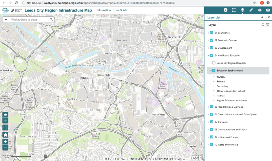
A multi-layer map was made available 28 Nov 2018, covering the whole of Leeds City Region. Note that the buttons to switch on layers have ‘expansion arrows’ giving access to more detail. Those of us who know the area well will notice that there are some elements that are not up to date and that categories included are not exhaustive eg. not all the green space is included.